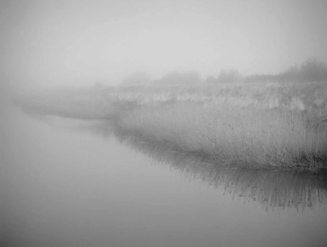
Lossenham
On the eastern boundary of the high weald in kent, Lossenham forms a ridge, running roughly south west to north east, situated between the river Rother to the south (the course of which at this point forms the Kent-Sussex border) and the Hexden channel to the north. the Hexden channel is a tributary of the Rother and flows into it just east of Lossenham. Lossenham thus forms a peninsula between these two watercourses and the surrounding (now largely reclaimed) marshes of the Rother levels. directly to the east rises the high ground of the isle of Oxney, divided between the parishes of Wittersham and Stone-in-Oxney. the Rother flows around the southern edge of the now landlocked isle and thence south to Rye and the sea. beyond the isle of Oxney lies the level expanse of Romney marsh.
Russell Burden. https://riverwork.studio/projects/lossenham-residency/
In November 2024 I began a one year residency exploring the landscape at Lossenham with artist in residence Russell Burden as part of The Lossenham Project and funded by the Janus Trust.
The Lossenham Project is a community heritage and research project investigating the archaeology and history of the Lossenham landscape and its wider setting. The Trust includes a biodiversity component and support for art and craft based projects.
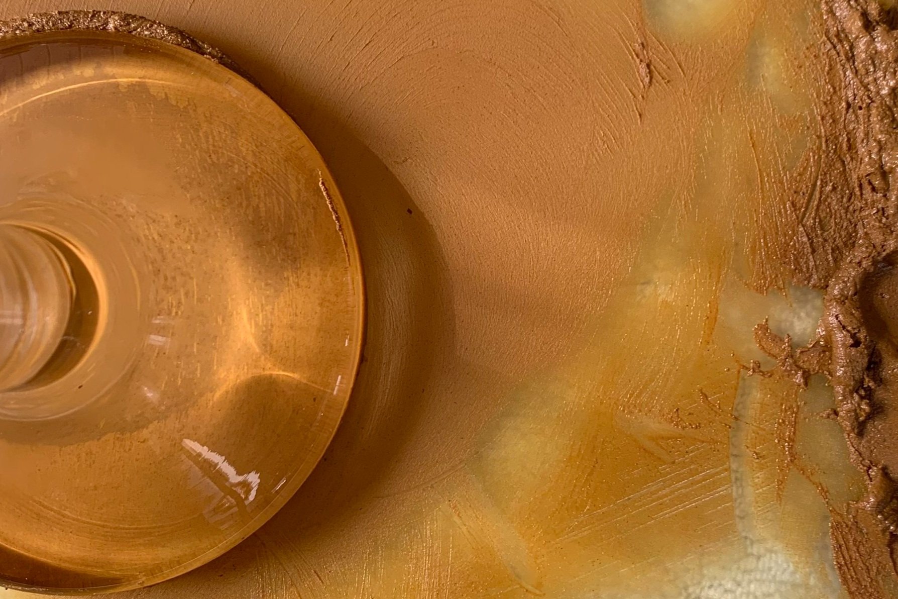
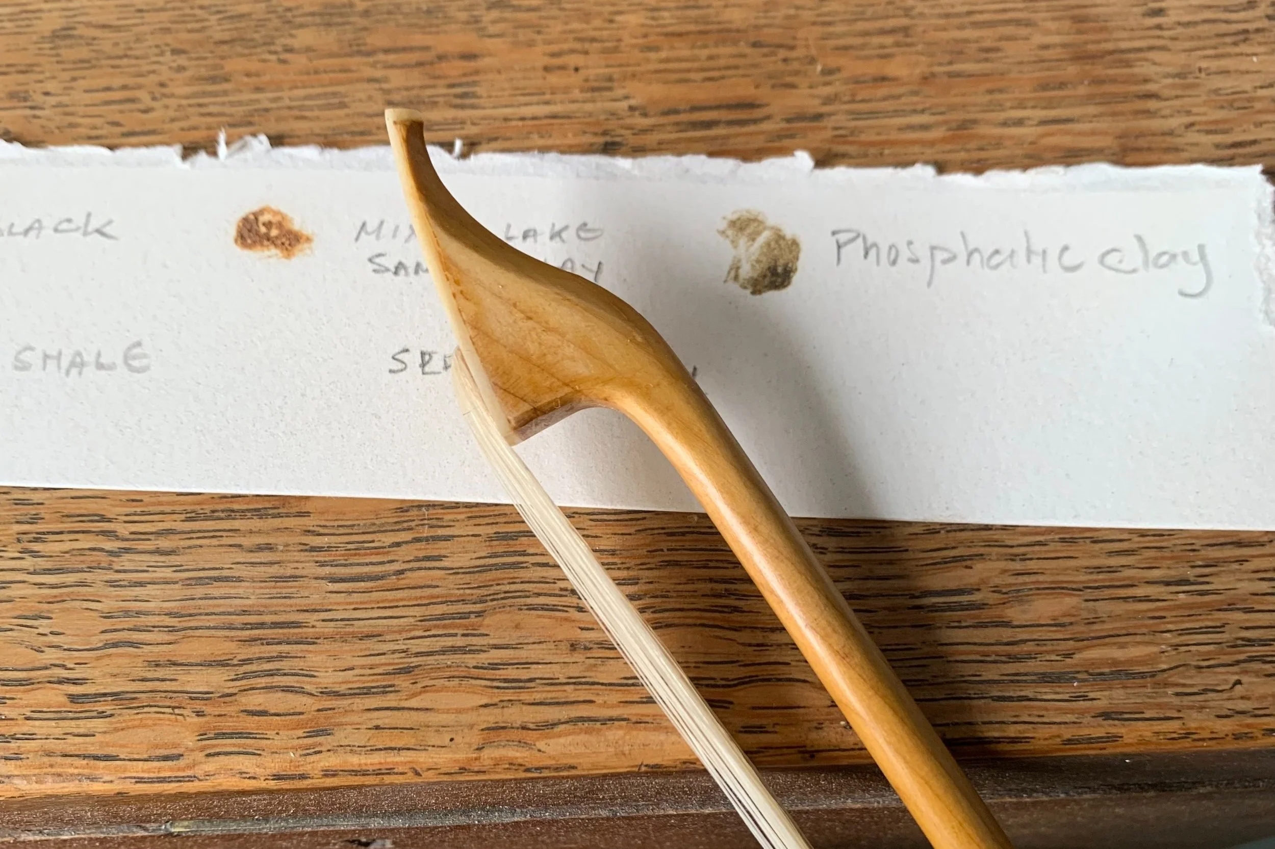
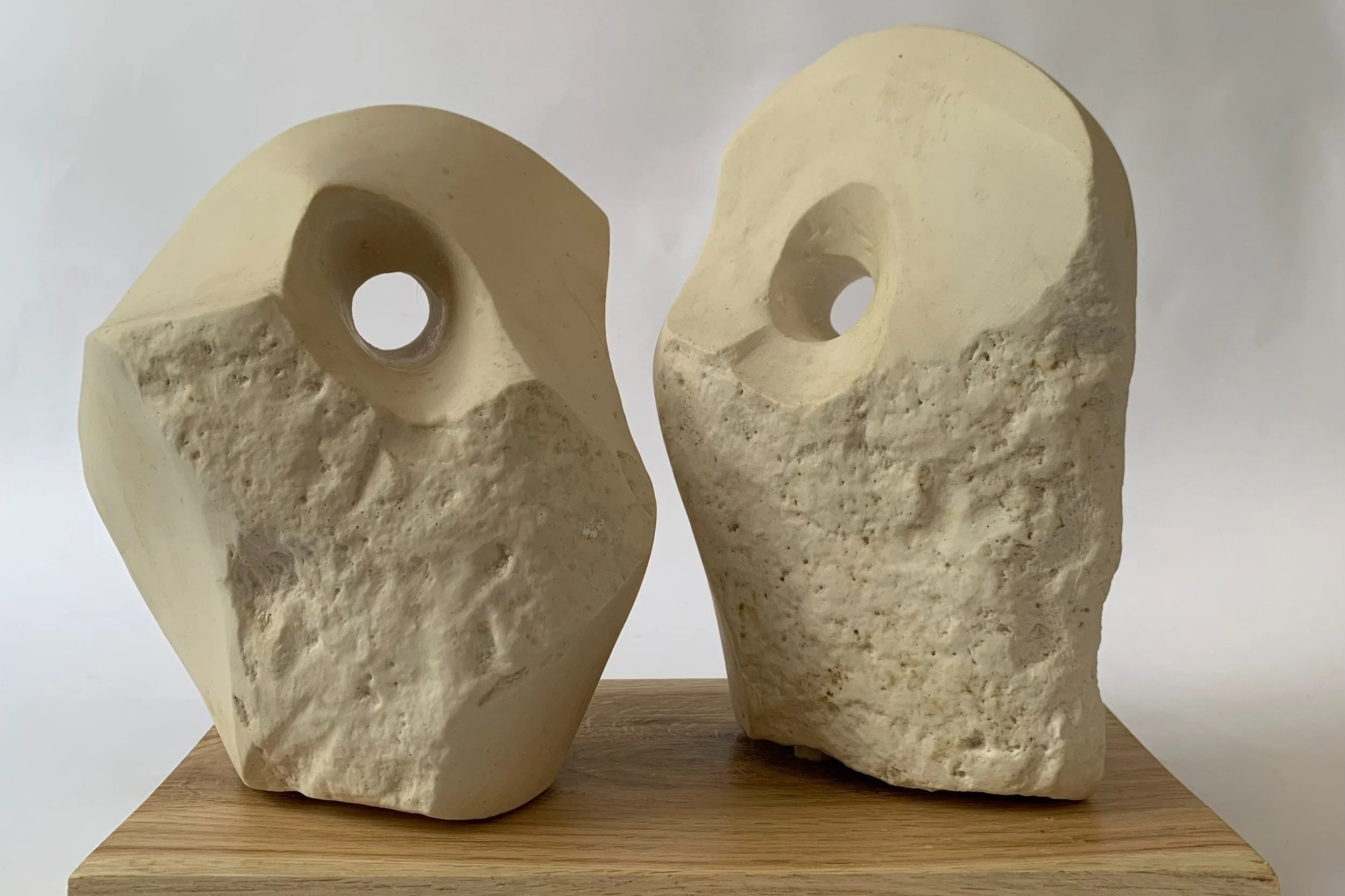
Russell had already begun the process of exploring the geological and living materials of the landscape with a view to, ‘Create mineral paints from soil, sands, clays and iron. Plant inks from water, plants, trees and bioclastic stone.’ I would join him on his journey, working collaboratively to create paintings and prints from his foraged pigments, clays and minerals, sculptures from gathered stone and wood, and soundscapes woven from the natural life and materials of Lossenham.